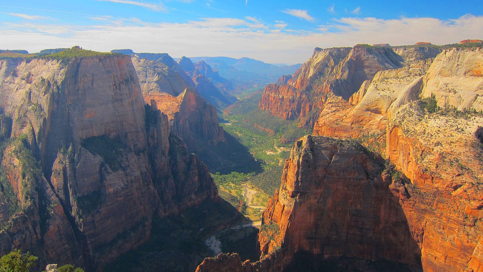
The mostly-flat back way to Zion's best viewpoint, 700 feet HIGHER than Angels Landing, looking straight down the length of Zion Canyon. The classic route from the canyon floor remains closed by a 2019 rockfall, making East Mesa the standard approach.
| Type | Out-and-back |
|---|---|
| Difficulty | Moderate |
| Length | 7 miles |
| Park or area | Zion National Park (access via Zion Ponderosa area) |
| Nearest town | Springdale / Orderville |
| Permits | No permit; trailhead is reached via a dirt road off North Fork Road (high clearance helpful, shuttle services available). |
More hiking trails in Southern Utah Build a trip around this